
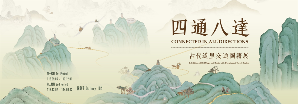
Road and distance, a compound term referring to the roads and mileage, ancient road and distance transportation maps generally refer to maps that mainly contain road and distance information, or also depict roads and record mileage
In addition to being in single form, they are often illustrated and included in books
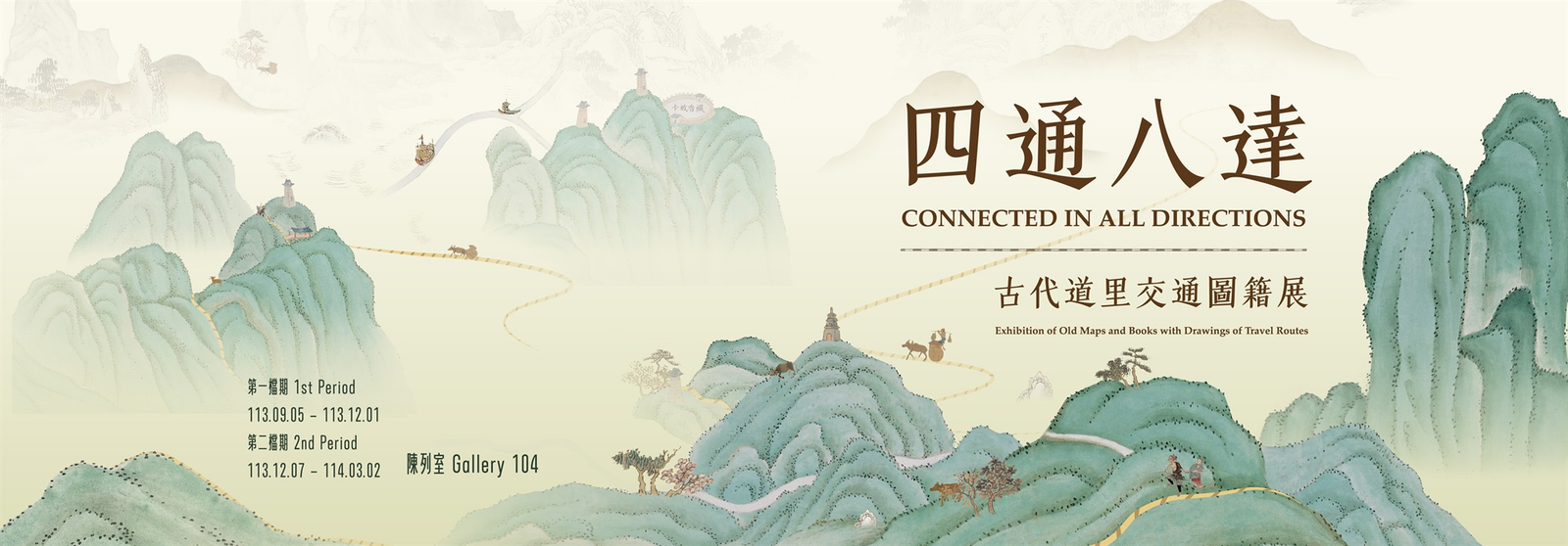
Therefore, any books or maps with road and distance characteristics are within the scope of the exhibition
In terms of functionality, ancient road and distance transportation maps are roughly similar to today’s electronic transportation guide systems, both guiding traffic and representing the terrain around the roads
With the evolution of cartography, the appearance of ancient and modern road and distance transportation maps has changed significantly, and their popularity and convenience are incomparable
Modern electronic transportation guides are singular in form and readily available, while the quantity of ancient road and distance maps is limited, but they are rich in categories and forms
For example, there are route guides and distance maps in commercial books, maps of prefectures and counties often engraved in local chronicles, detailed maps of round trips for emperors’ inspections and tomb visits, border defense maps for soldiers on duty, large-scale postal road maps connecting all directions, and city route maps drawn in conjunction with provincial, prefecture, state, and county administrative maps
The exhibition has selected 20 sets of maps and books with road and distance characteristics from the 14th to the early 20th century from the museum’s collection, displayed in two stages
The first stage includes units such as Postal Road Overview, North-South Main Road, Emperor’s Tomb Visit, Traveling All Over the World, and Citizen Avenue; the second stage maintains the front and back unchanged, with the rest adjusted to Border Patrol Roads, Mountain Crossing, and Southern Inspection Road
In addition to cultural relics, the multimedia interactive device ‘Walking on the Road in Taiwan’ uses the ‘Kangxi Taiwan Map’ (Taipei Museum collection) and the ‘Qianlong Taiwan Map’ as materials, combined with aerial dynamic images of the transportation route from Xinzhu to the museum, providing visitors with a real sense of walking on the ancient north-south roads of Taiwan
The exhibition is open from September 5th to December 1st, with specific business status subject to the actual opening on the day
Related Content:
 West of Tibet, Towards the Scorching Mountains and Rivers
 Zhengzhou – Nanjing – Wuxi – Shanghai, Leisure Self-driving All the Way, Feel the Midsummer Time!
 Explore the China Maritime Museum and Hear the Tales of the Sea
 National Day Holiday: Exploring the Shimao InterContinental
 Off-the-Beaten-Path Travel Spots in Songjiang, Shanghai: Comprehensive Guide in One Article
 Jiangnan Song City: Scenic Beauty, Hakka Cradle, and Fun in Ganzhou!